Navigation Marks
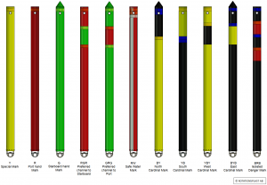 Floating aids to navigation are used to mark the side limits of fairways, natural and other obstructions such as isolated shoals and wrecks, other areas or conditions significant to navigation, and new dangers.
Floating Aids to Navigation.pdf
Showing 1–16 of 34 results
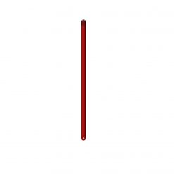
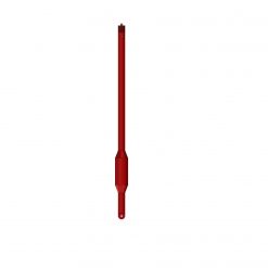
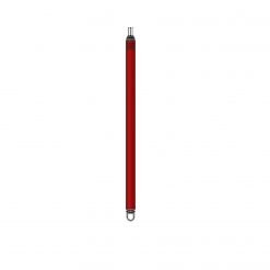
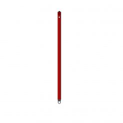
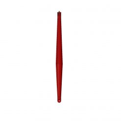
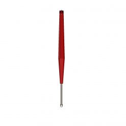
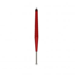
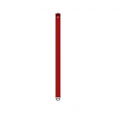
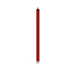
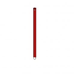
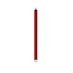
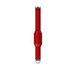
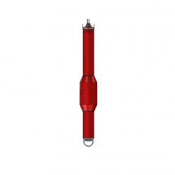
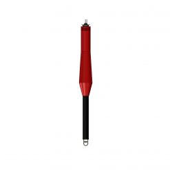
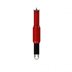
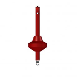
Floating navigational markers, manufactured from linear low-density polyethylene (LLD-PE) and filled with expanded polystyrene for buoyancy, are used to mark out the sides of shipping channels, natural and other isolated dangers such as rocks and wrecks, other areas or features that affect navigation and new hazards.
The marking system applies across the whole of Europe, using floating navigational markers that are either buoys or spars. These markers are distinguished by one or more of the following features: colour, shape, top mark and light (colour and characteristics). We supply maritime authorities, defence, ports, guest harbours, the offshore industry and the fishing industry throughout Europe. To accompany the navigational markers, we offer accessories such as lights, batteries, floats and top marks.
Floating navigational markers are divided into:
Lateral marks (set out along the edge of the channel).
Cardinal marks (named north, east, south or west, according to their bearing from the shallow water or hazard; the mark should be passed on the same bearing as the name indicates).
Isolated danger marks (anchored on an isolated danger of limited extent which has navigable water all around).
Safe water marks (indicate that there is navigable water all around and under the mark, and are used to show the mid channel, landfall, etc.).
Special marks (not specifically intended for navigation, but indicate features such as cables or measuring instruments, or mark the limits of a particular area)
